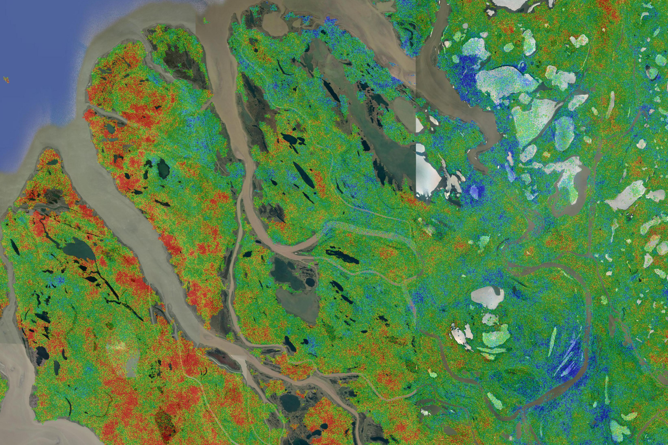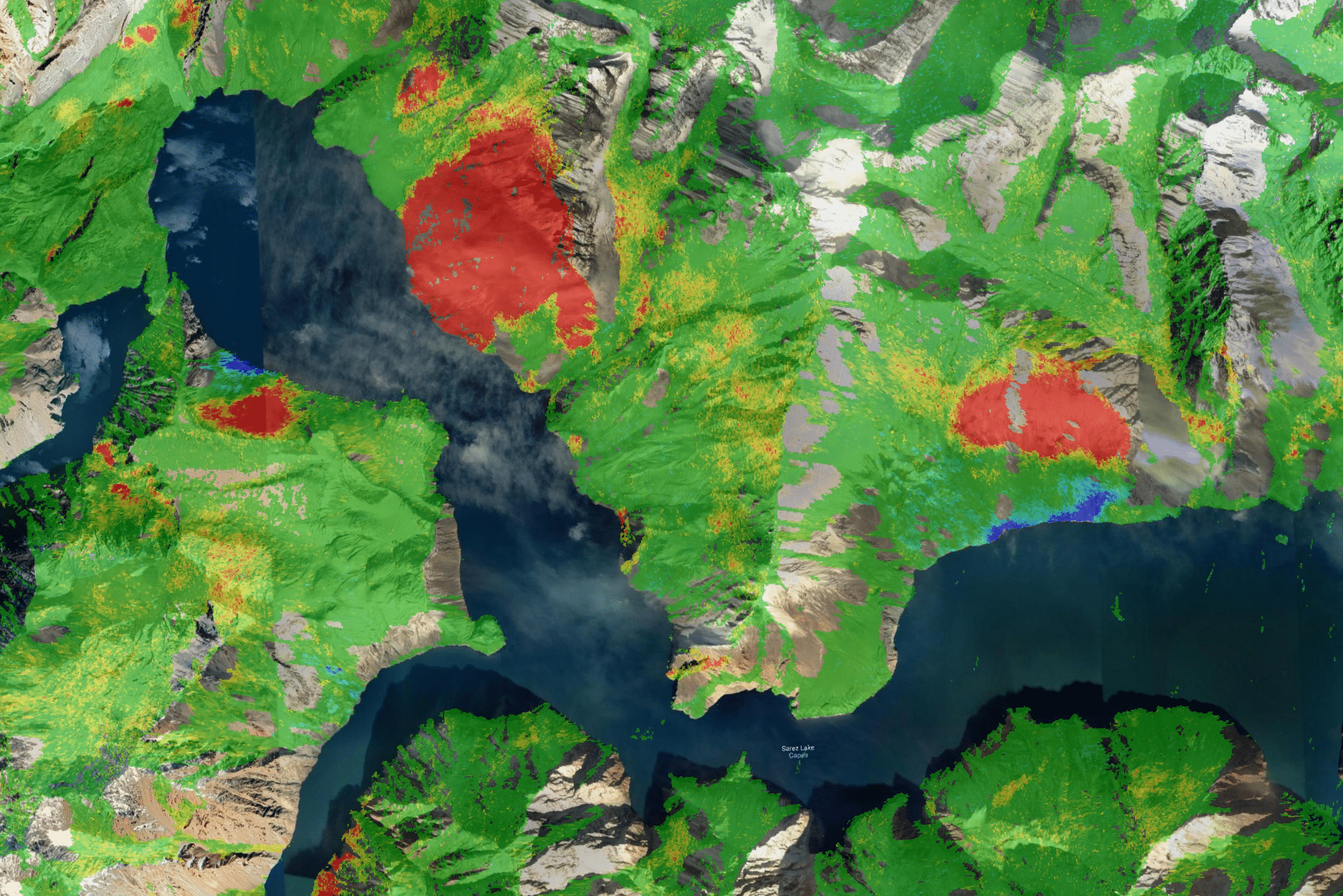
Satellite sensors are able to measure the motion of the land surface to millimetric precision. Using their APSIS technology, Terra Motion are uniquely able to extend current capabilities into the rural environment, thereby offering the means to comprehensively survey remotely in all climates and latitudes. This offers a powerful and unmatched capability to support a whole range of applications, including planning, insurance, asset monitoring and climate change, at local, regional, national or international scales
Terra Motion are a partner in the United Nations Global Peatlands Initiative (https://www.globalpeatlands.org).